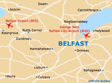
Belfast International Airport (BFS)
Orientation and Maps
(Belfast, Northern Ireland)
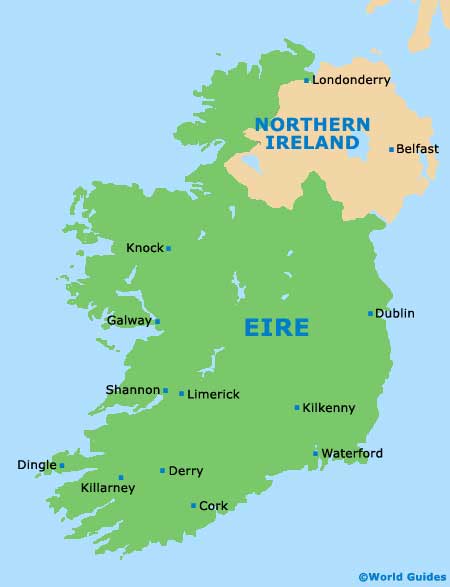
Northern Ireland's capital city, Belfast stands in the Ulster province and features a population of more than 300,000 people in the city, with around 600,000 in the Greater Belfast area. In the whole of the island of Ireland, Belfast is second in size only to Dublin. Belfast is located on the coast, at the point where the River Lagan joins the Irish Sea.
Outside of the city and to the north-west, Belfast International Airport (BFS) is Northern Ireland's premier airport and handles many millions of passengers per year. The airport lies to the west of Aldergrove village and due to its close proximity is often known as Aldergrove Airport.
Belfast International Airport (BFS) Maps: Important City Districts
The most important area of Belfast is the city centre and this area contains many prominent local buildings. Belfast city centre features two separate postcodes, which are based around the City Hall, with BT1 covering the northern side, and BT2 the southern region. This part of the city is the main area of commerce and is based around Donegall Street. Highlights in Belfast city centre include the Cathedral Quarter (around St. Anne's Cathedral), Royal Avenue, Donegall Place and many riverside attractions.
The Belfast area has absorbed a number of small towns and villages over the years. As a result of this expansion, many of these areas are now home to distinct neighbourhoods and communities. Close to the city centre, the Golden Mile lies along Great Victoria Street and near to the university, being full of places to eat and drink. Outside of the city, County Antrim lies to the north, while County Down can be found to the south.
Northern Ireland Map

Belfast Map